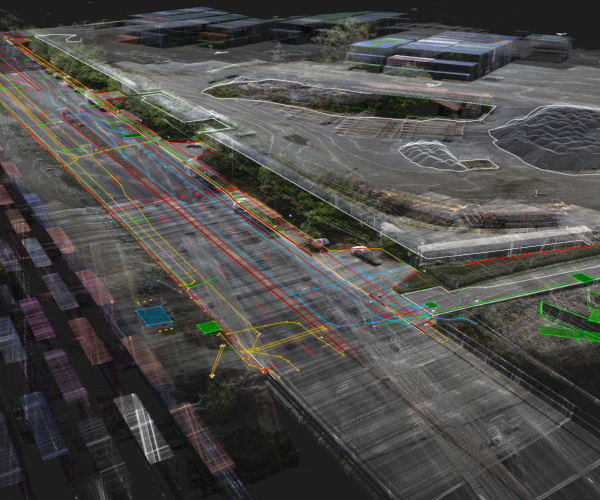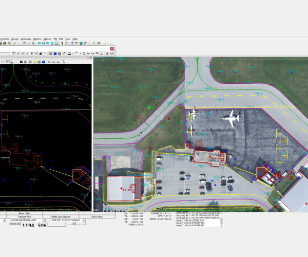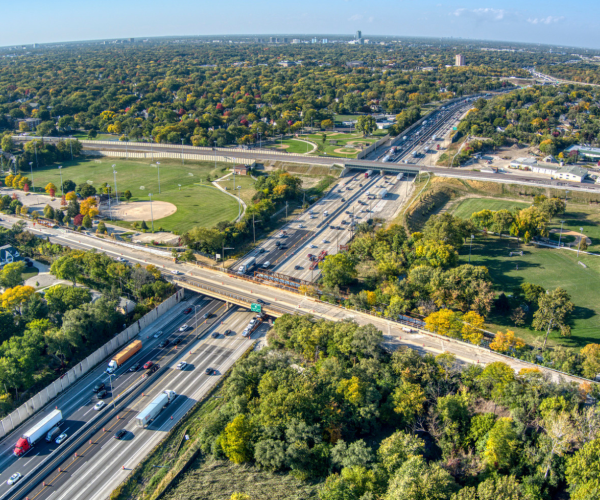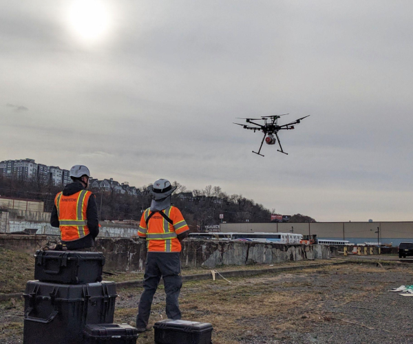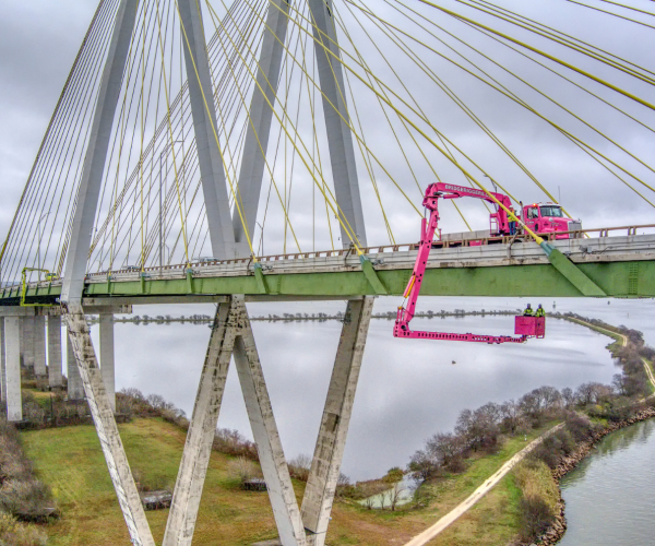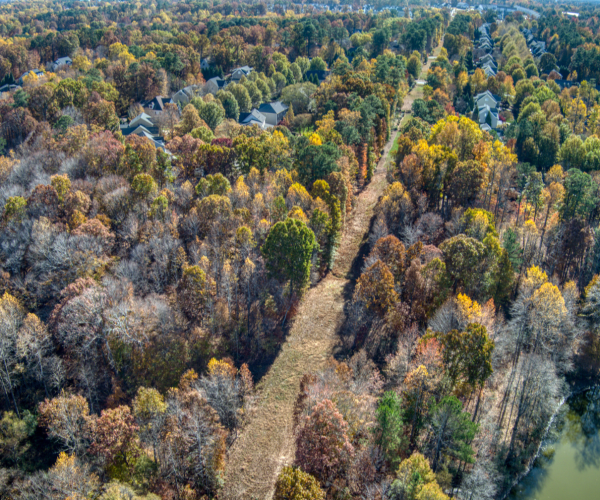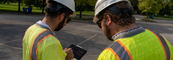
TranSystems offers a systematic approach to transportation improvements, combining technology and expertise to provide our clients with high-quality and cost-effective surveying and mapping services. We offer a broad range of reality capture solutions to collect and analyze complex data across a wide range of engineering and construction programs.
TRANSYSTEMS HAS 40 CREW AND SUPPORT STAFF WORKING ON GEOSPATIAL DATA COLLECTION
SURVEY + SUE EXPERTISE
-

Geomatics
-
Unmanned Aircraft Systems (uAS)
-
Aerial Mapping
-

SUE
-

Conventional Survey
Survey + SUE Projects
Featured Video
Rail Yard Survey Workflow
