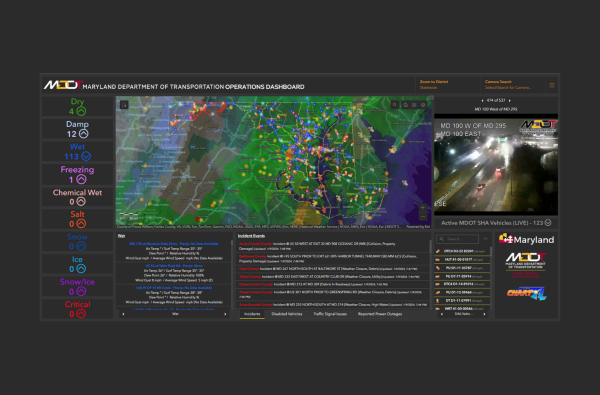
Utilizing Esri’s ArcGIS Online Operations Dashboard COTS framework, a common operating picture was constructed allowing internal MDOT SHA decision makers the ability to quickly and easily navigate multiple internal and external datasets in one centralized resource. This application provides focused data, based on specific incident locations, allowing MDOT SHA to reallocate resources as conditions change. When an incident occurs, the user can select that incident from the incident data feed list with one click, resulting in each dashboard data feed adjusting to the location, including the location of the nearest video feed(s), and automatically streaming those if available.


